EnviroVision Solutions
Software
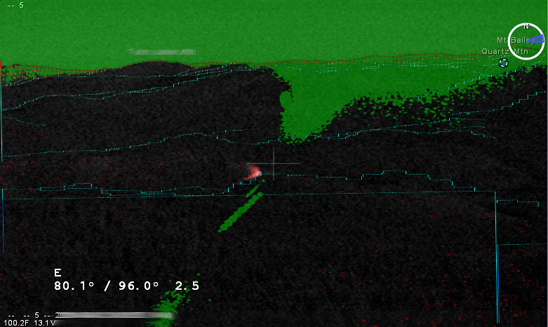
Although each Envirovision Solutions system is different, the functionality of each can be related back to the mathematical algorithms developed by EVS founder Dr Gavin Hough and his team of computer programmers over the past decade. Incorporated into computer software, the algorithms are used to automatically compare live footage taken from programmed, rotating cameras, with images from previous rotations. If the software detects motion changes, an alarm will automatically trigger, alerting a control room operator to examine the situation more closely.

Connect up to 8 cameras to a single detection computer
In turn, each camera can detect scene changes up to 20km away, for greatly increased monitoring capabilities.
Smart software
A learning mode helps it identify regular, non-threatening environmental features such as light changes. This helps to reduce the number of false alarms.


Range aware and geo-referenced
During set-up the software locks each camera to a computer-generated 3D model of the terrain in front of it. Elevation data is combined with other spatial data so that when you click on a point on the screen, it generates accurate real-life coordinates from a single camera – without traditional time-consuming triangulation. This makes precise, rapid response possible.
Night Mode enhances after-dark detection
By laying a day time image of the terrain over its night equivalent when needed. This can help orientate the system operator.

Archives all data associated with an incident on a secure server
Date and time stamped images give a permanent record of the event in case of litigation, and are useful for post-event analysis.